地質調査および測量サービス
Description
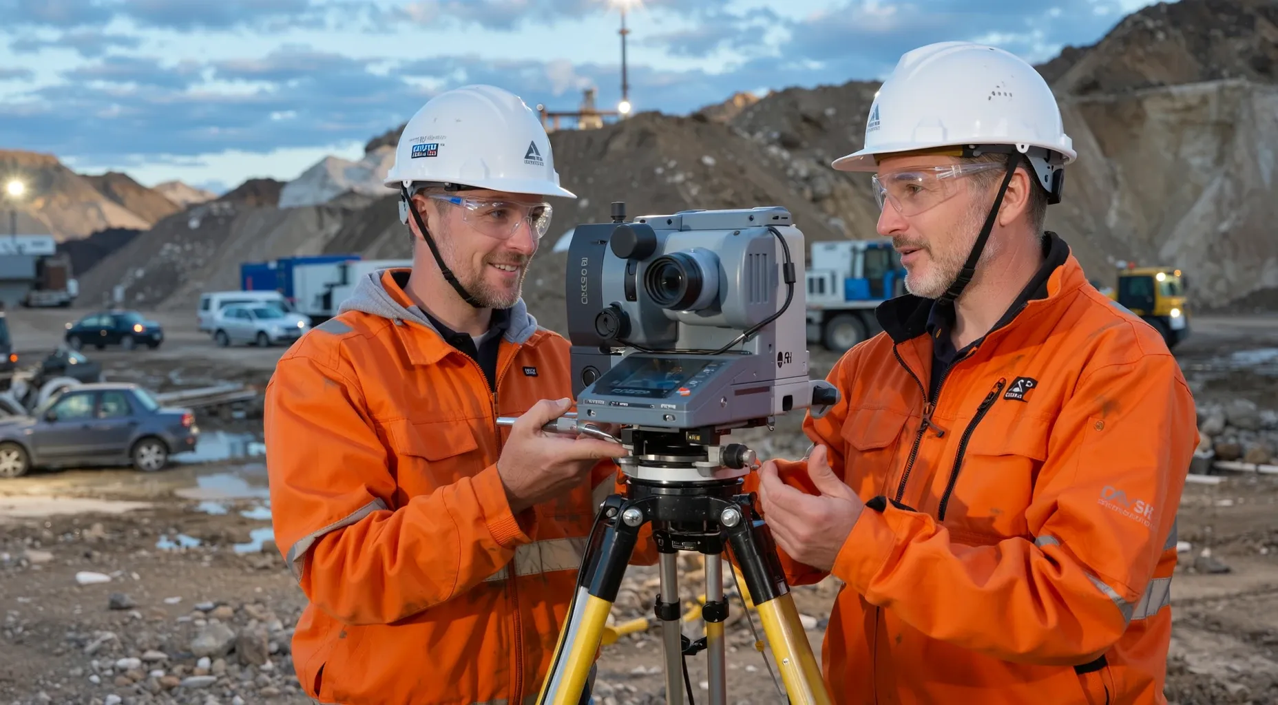
この産業は、データを収集、解釈、および地図に作成することに主に携わる事業所で構成されています。この産業の事業所は、通常、石油、天然ガス、および鉱物などの地下資源の場所と範囲を特定および測定することに特化していますが、エンジニアリング目的の調査も行っています。この産業の事業所は、調査の目的に応じて、磁気調査、重力調査、地震調査、または電気および電磁調査などのさまざまな測量技術を使用しています。
Hierarchy
| Code | Title | Description |
|---|---|---|
| 54 | 専門、科学、技術サービス 2-digit sector | セクター全体 専門、科学、技術サービスセクターは、専門、科学、技術活動を他の企業に提供する専門業者を構成しています。これらの活動には、高度な専門知識と訓練が必要です。このセクターの企業は、専門知識に基づいてサービスを提供し、さまざまな業界、および一部の家庭にサービスを提供します。提供される活動には、法的アドバイスおよび弁護、会計、記帳、給与サービス、建築、エンジニアリング、および専門設計サービス、コンピューターサービス、コンサルティングサービス、研究サービス、広告サービス、写真サービス、翻訳および解釈サービス、獣医サービス、およびその他の専門、科学、技術サービスが含まれます。 このセクターには、主に、財務計画、請求書発行および記録管理、人事、および物理的な流通および物流などの、さまざまな日常業務オフィスサービスを提供する企業は含まれていません。これらの企業は、セクター56、事務およびサポートおよび廃棄物管理および修復サービスに分類されます。 |
| 541 | 専門、科学、技術サービス 3-digit subsector | 専門、科学、技術サービスサブセクターの産業は、人間の資本が主要な入力となるプロセスに関与する企業をグループ化しています。これらの企業は、従業員の知識とスキルを、多くの場合、委託に基づいて提供します。個々の産業は、サービスプロバイダーの特定の専門知識とトレーニングに基づいて定義されています。 専門、科学、技術サービスサブセクターの主な特徴は、このセクターにグループ化されているほとんどの産業が、ほぼ完全に労働者のスキルに依存する生産プロセスを持っていることです。したがって、このセクターに分類されている企業は、専門知識を販売しています。多くの専門知識には、学位が必要ですが、すべてのケースではありません。 |
| 5413 | 建築、エンジニアリング、および関連サービス 4-digit industry group | この産業グループは、主に建築、エンジニアリング、および関連サービス、たとえば、図面作成サービス、建物検査サービス、地球物理学的測量およびマッピングサービス、測量およびマッピング(地球物理学的を除く)サービス、およびテストサービスを提供する企業を構成しています。 |
| 54136 | 地球物理学的測量およびマッピングサービス 5-digit NAICS industry | 541360の産業の説明を参照してください。 |
| 541360 | 地質調査および測量サービス 6-digit U.S. detail | この産業は、データを収集、解釈、および地図に作成することに主に携わる事業所で構成されています。この産業の事業所は、通常、石油、天然ガス、および鉱物などの地下資源の場所と範囲を特定および測定することに特化していますが、エンジニアリング目的の調査も行っています。この産業の事業所は、調査の目的に応じて、磁気調査、重力調査、地震調査、または電気および電磁調査などのさまざまな測量技術を使用しています。 |
Need a supply chain stack that maps to this industry?
Use this NAICS classification as the starting point, then connect it to Item workflows across inventory, warehousing, order management, fulfillment, and transportation.
Classification References
- 01主に他の企業のために、コアサンプリング、テストウェルの掘削、またはその他の鉱業開発活動(地球物理学的測量およびマッピングを除く)を請負契約に基づいて行う事業は、産業21311、鉱業支援活動に分類されます。
Index Items
航空地球物理学的測量サービス
電気地球物理学的測量サービス
電磁地球物理学的測量サービス
地質学的測量サービス
地球物理学的マッピングサービス
地球物理学的測量サービス
重力地球物理学的測量サービス
磁気地球物理学的測量サービス
地球物理学的マッピング
放射性地球物理学的測量サービス
リモートセンシング地球物理学的測量サービス
地震地球物理学的測量サービス
地球物理学的測量サービス
How Item Can Help
Streamlines inventory management for raw geological samples and survey equipment by automating warehouse operations and tracking materials from procurement to job sites.
Optimizes order-to-cash processes for specialized geophysical survey packages, ensuring accurate dispatching of complex instrument fleets to remote locations.
Integrates survey data with supply chain analytics to forecast material needs and identify bottlenecks in the logistics network for large-scale mapping projects.
External Resources
Census.gov NAICS Detail
Official US Census Bureau definition and scope for NAICS 541360.
American Association of Geospatial Analysts (AAGA)
A trade association representing geospatial professionals including geophysicists with industry resources and certifications.
Bureau of Land Management - Geologic Map and Database
A US government portal providing public access to geologic maps and subsurface data for geophysical surveying projects.
National Center for Geographic Information Analysis
An academic resource offering tools, datasets, and training for geophysical mapping and analysis through geospatial software.